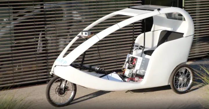
 Credit to warp.company
In this project, I worked on the SLAM pipeline for an autonomous driving vehicle.
The tools I used for this project are, ROS, C++, PCL library, Ceres Solver, and Google Cartographer.
In addition, I created a ROS package that generates a cost map from a point cloud generated by SLAM. A cost map is a matrix where each cell contains a cost value. This value expresses how likely it is that the cell is occupied by an object. The cost value is also used to express “preferred” surfaces: for example, asphalt is preferred over grass.

The images used belong to https://warp.company/